

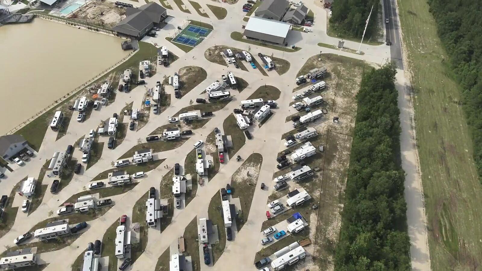
RTK-positioned site data
Aerial Site Data
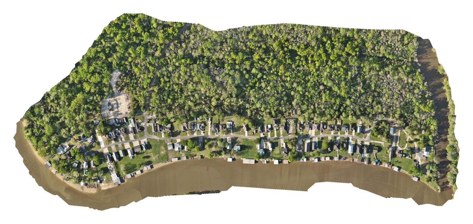
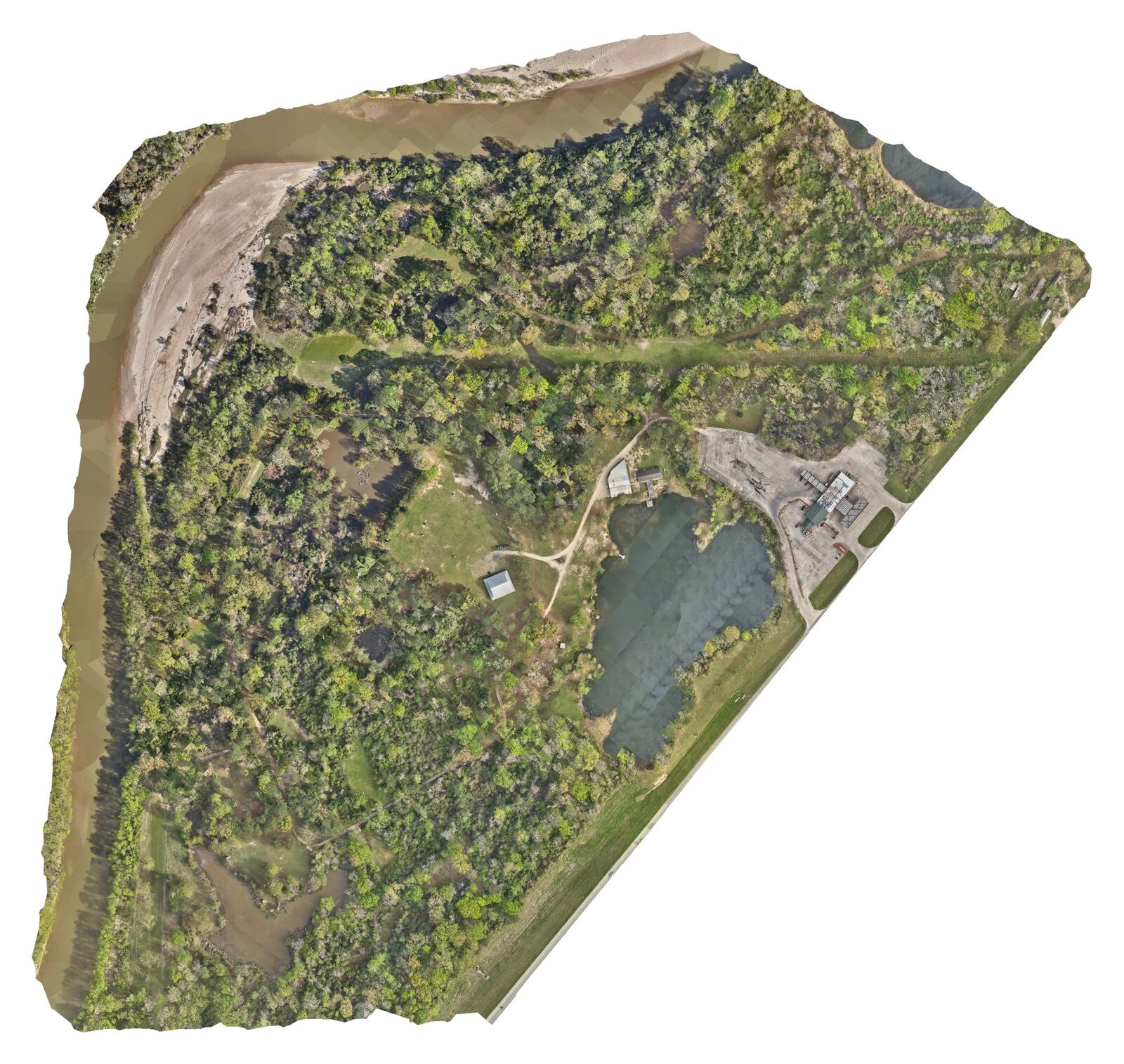
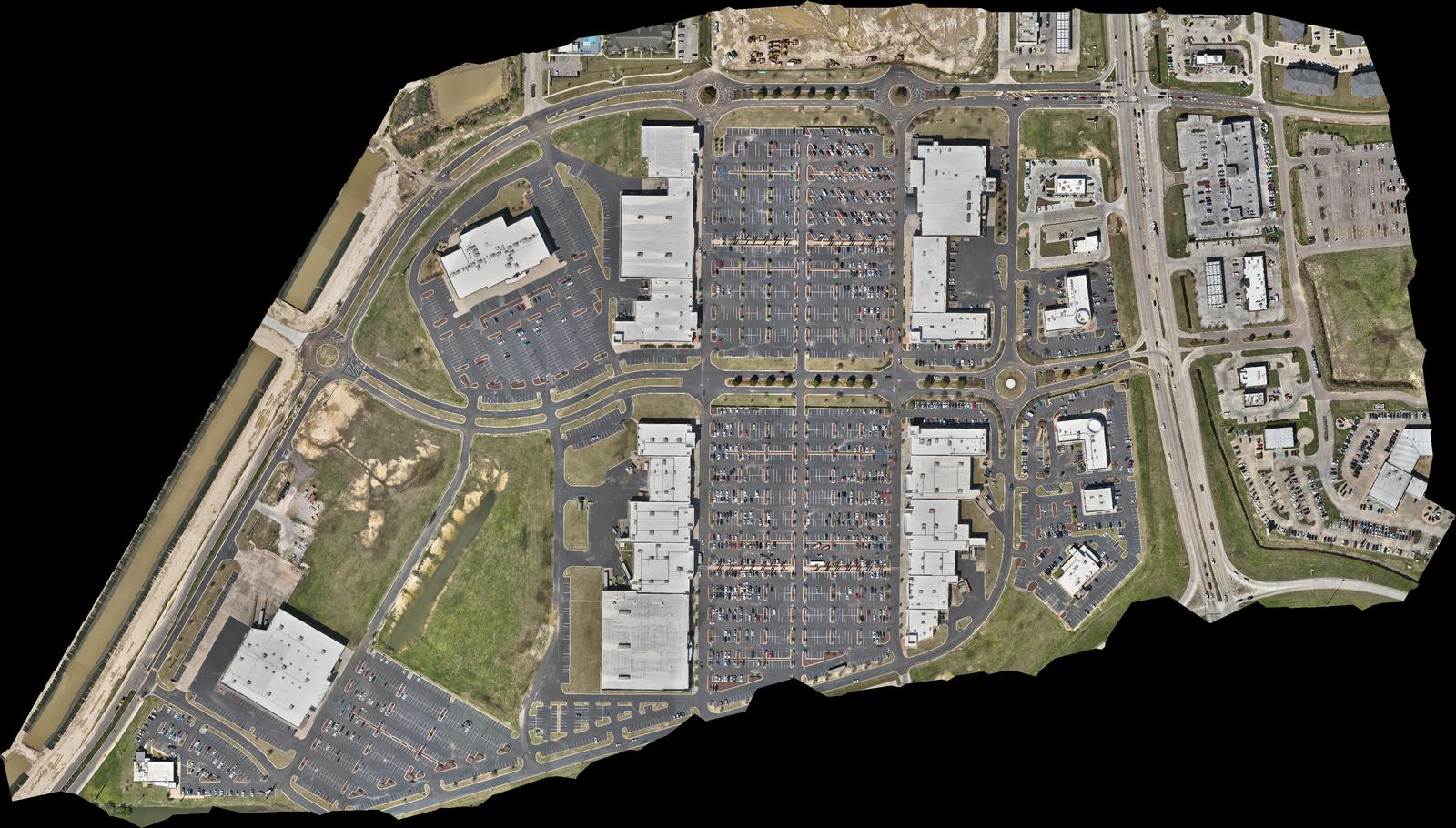
RTK orthomosaics and 3D models of your whole site, plus contour and elevation data under the direction of your licensed PLS/PE.
- FAA Part 107 Certified
- Insured
- TWIC Card Holder
RTK positioning
What you get
It's a fast, affordable way to see a whole site at once and track how it changes over time.
We fly planned grid missions with RTK positioning and process them into orthomosaics and 3D models, plus contour and elevation data under the direction of your licensed PLS/PE.
- High-resolution orthomosaics (GeoTIFF), visual documentation, not a survey
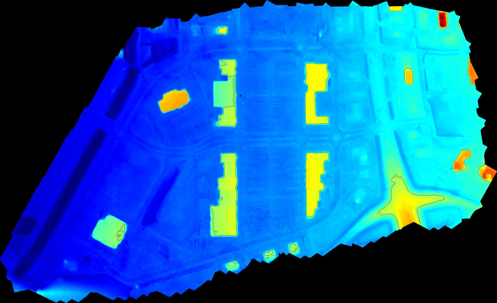
- Surface, elevation and contour data under the direction of your licensed PLS/PE
- 3D models, plus point clouds under the direction of your licensed PLS/PE
Ideal for Licensed surveyors and engineers, plus contractors and developers who need visual site documentation.
Wascom Aerial is not a licensed land surveyor. Contour, elevation, point cloud and LiDAR data is produced under the direction of a licensed PLS/PE in responsible charge and is not a survey.
Request a booking: Aerial Site Data →

Gallery
Recent work
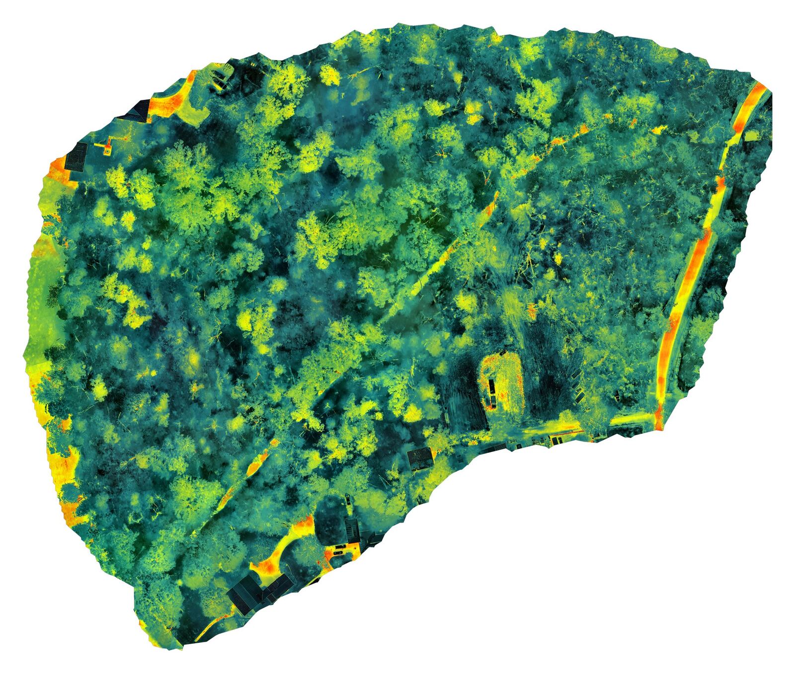
Orthomosaics and progress maps are visual documentation, not a survey.
LiDAR available
LiDAR capture is available for licensed surveyors and engineers (PLS/PE in responsible charge). LiDAR pulses reach the ground through gaps in trees and brush, capturing terrain under vegetation that photos can't see.
We capture and process the data under the direction of your licensed surveyor or engineer of record, who sets control and seals any final product. We don't provide surveys. LiDAR equipment (aircraft, sensor and RTK base) is rented for each project. Mapping, topo, contour and LiDAR data collection is quoted per project.
Available today for open sites with clear ground:
- Photogrammetry contour data (intervals in feet) under the direction of your licensed PLS/PE
- High-resolution orthomosaics (not a survey)
- Surface and elevation data under the direction of your licensed PLS/PE
Other services
Ready to plan a flight?
Tell us about the site, the timeline and what you need. You'll get a straight answer and a clear quote.