

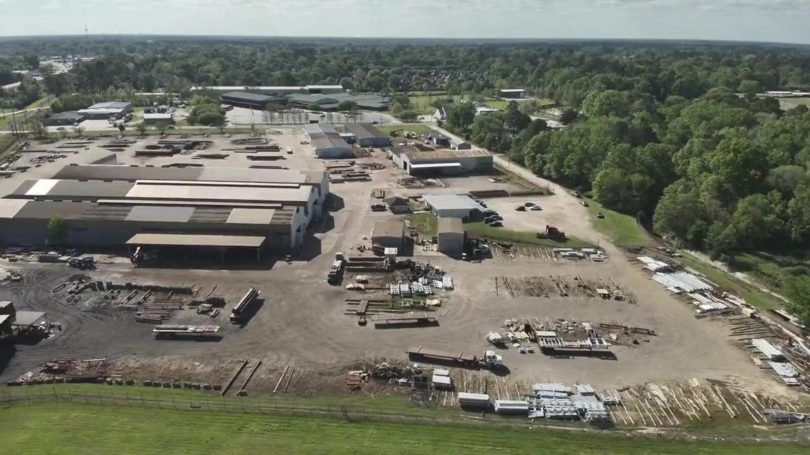
Baton Rouge · south Louisiana
Aerial site data and thermal inspections for engineers, surveyors and contractors.
RTK-positioned orthomosaics and thermal inspections, plus contour and elevation data under the direction of your licensed PLS/PE, flown by a Part 107 certified pilot across Baton Rouge and south Louisiana.
- FAA Part 107 Certified
- Insured
- TWIC Card Holder
Services
Site data to plan, track and document your projects.

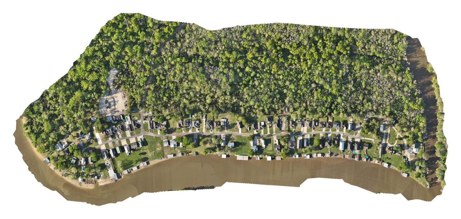
Orthomosaics & 3D Models
RTK orthomosaics and interactive 3D models, plus contour and elevation data under the direction of your licensed PLS/PE.
Explore Aerial Site Data →
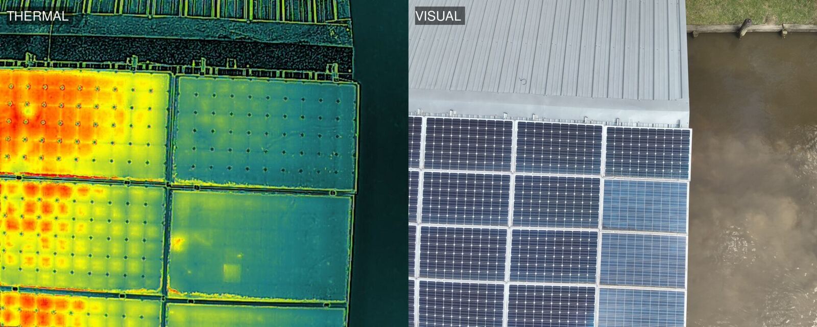
Thermal Inspections
See heat problems from the air, paired with visual photos.
Explore Thermal Inspections →
Industrial & Commercial
Plan and document sites with minimal disruption to operations.
Explore Industrial & Commercial →Selected work
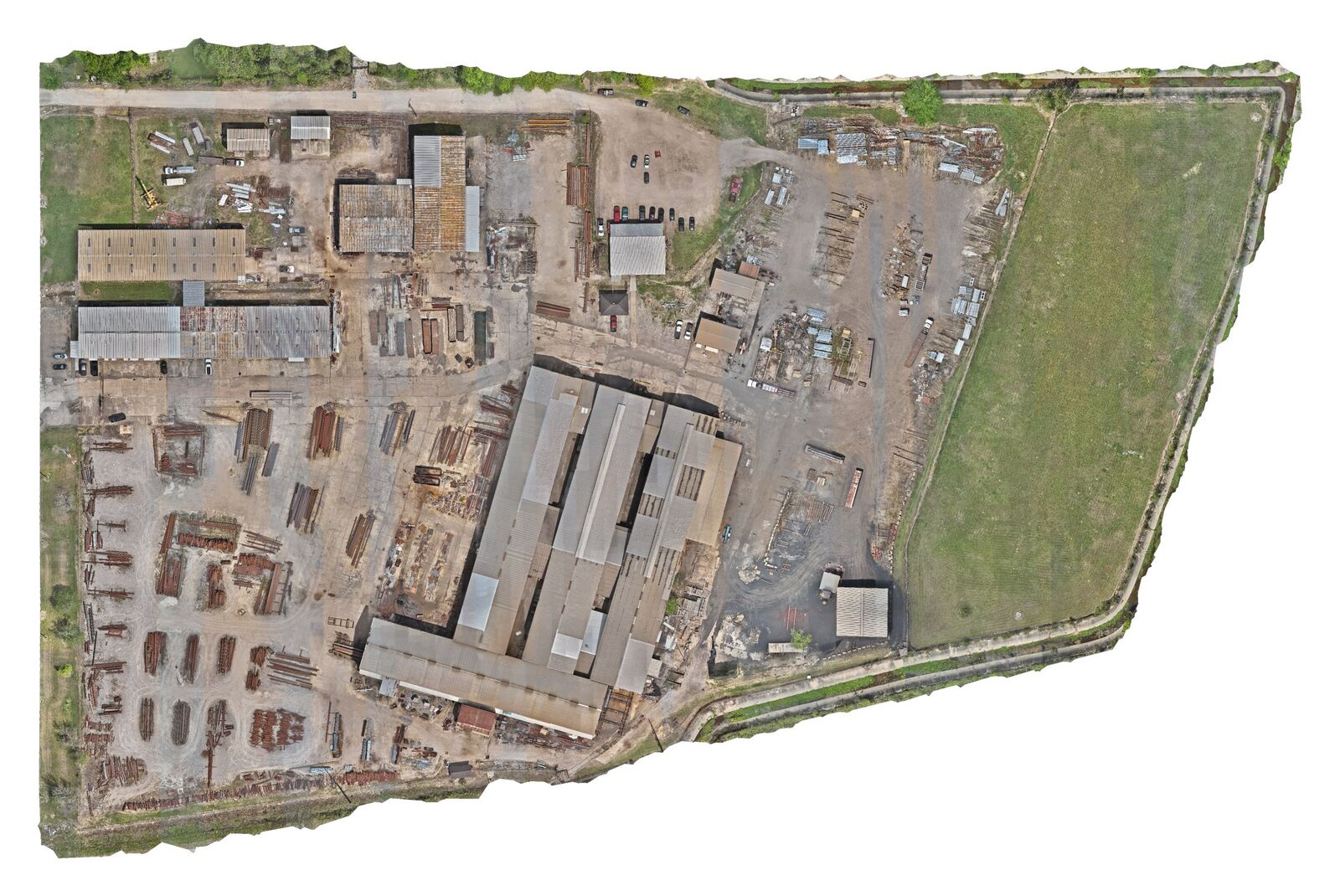
Real deliverables, not stock footage.
Explore the Superior Steel site map → An interactive orthomosaic of a ~27 acre steel yard: visual documentation, not a survey.
Who we work with
Built for the people who design, survey and build the site.
Civil engineers
Orthomosaics of existing conditions on open or cleared sites, plus contour and elevation data under the direction of your licensed PLS/PE, to support site design, drainage review and planning.
Aerial Site Data →Surveyors
Georeferenced orthomosaics and surface models of the whole site to support your fieldwork, for use under your surveyor's or engineer's direction. We don't provide surveys.
Aerial Site Data →Contractors & developers
Orthomosaics and progress maps to plan and document progress on the whole site at once. Visual documentation, not a survey.
Aerial Site Data →Property & facility managers
See roofs, facades and the whole property without ladders or lifts, and with minimal disruption. Repeat the flight to track condition over time.
Industrial & Commercial →Solar installers
Spot failing cells and hot connections across an array, with a thermal and visual photo of every issue and a report that shows where it is.
Thermal Inspections →Wascom Aerial is not a licensed land surveyor. Contour, elevation, point cloud and LiDAR data is produced under the direction of a licensed PLS/PE in responsible charge and is not a survey.
About
Run by Aaron Wascom.
Wascom Aerial Solutions LLC is a Denham Springs, Louisiana drone company run by Aaron Wascom. We combine FAA Part 107 certified flying with thermal, RTK site-capture and FPV equipment to give clients useful data and great-looking footage. We're local, insured and easy to work with.
Hours of FPV stick time show in every low, tight, one-take shot, and the same discipline goes into every inspection and site data mission.

Gear: DJI Mavic 3TA for thermal and RTK site capture, custom FPV quads, and cinewhoops for indoor work.
How it works
Three steps, no surprises.
- 01
Tell us about the site
Location, what you need to see or measure, and your timeline.
- 02
We plan and fly
Part 107 certified, insured, and planned around your operations.
- 03
You get deliverables
Paired images and reports, maps and models, or edited video, ready to use.
Ready to plan a flight?
Tell us about the site, the timeline and what you need. You'll get a straight answer and a clear quote.